Why geo-tagging botanical raw material matters
Geo-tagging is not about showing a customer a map. It is about building the dataset that lets you predict how a lot will behave before you extract it.
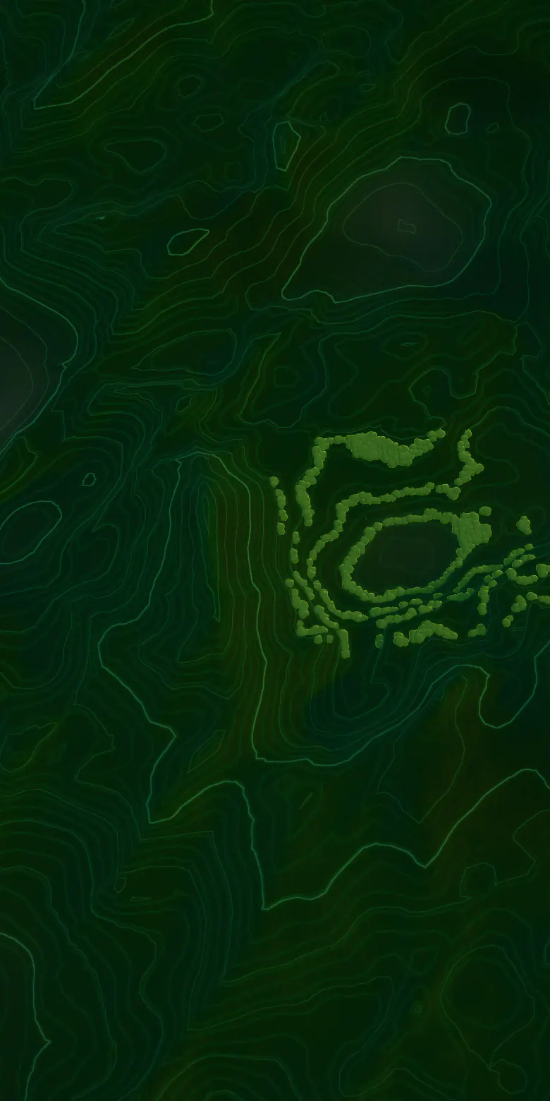
Geo-tagging connects each cultivation cluster and raw-material lot to its geographic origin. Why that matters: origin, environment, raw material, phytochemical profile, extraction performance and final ingredient quality are related.

This can become an important foundation for future QbD, supplier qualification, botanical standardization and predictive raw-material management. Objective

POABS Nutraceuticals aims to build a geo-tagged botanical raw-material traceability system, connecting each approved cultivation cluster and raw-material lot to its geographic origin. Objective
Know where your botanical comes from.
Where applicable, raw materials can be mapped through a defined sequence:
- Farm / Cluster
- GPS Location
- Farmer / Source
- Crop
- Cultivation Practice
- Harvest
- Raw-Material Lot
- Processing Batch
- Finished Ingredient
What a geo-tagged record can hold
Depending on the botanical and the sourcing program, such a system can record:
- Geographic coordinates of cultivation clusters
- Farm/cluster identification
- Botanical species and plant part
- Cultivation method
- Organic/conventional status
- Sowing and harvest information
- Harvest season
- Raw-material lot/batch number
- Supplier/farmer identification
- Incoming quality parameters
- Processing location
- Extraction batch
- Analytical results
- Final ingredient batch
The relationship it makes visible
Botanical quality can be influenced by geography, soil, climate, cultivation practices, harvest timing and post-harvest handling. Geo-tagging creates an additional layer of scientific intelligence that can help us understand how those factors connect:
- Origin
- Environment
- Raw material
- Phytochemical profile
- Extraction performance
- Final ingredient quality
Rooted in the biodiversity and agricultural heritage of Kerala’s Western Ghats.

From a map to a method
Over time, this information can support source optimization, raw-material consistency, supplier development and scientific standardization. Objective
Geo-tagging is not intended simply to show where a herb was grown. Our objective is to build a data-driven system that allows POABS to progressively correlate geographical origin with botanical quality and phytochemical performance. Objective
That is also why the clusters shown anywhere on this site are illustrative. No real farm locations are displayed.
Read next on the platform
Where this sits in the POABS platform
Insights
More from the platform
-
 Traceability Batch traceability in a botanical supply chain Traceability is often sold as a document. It is more useful to think of it as a chain of identities, each one linked to the next, with nothing missing in between.
-
 Ingredient formats Beyond powders: why ingredient format is a formulation decision Two ingredients can share a specification and still behave differently in a tablet, a sachet or a beverage. The difference is usually the format.
-
 Sourcing Organic first: how a sourcing priority works in practice An organic claim is easy to print and hard to keep. Treating organic as a priority rather than a promise is what makes it survive contact with agronomy.
Start a conversation